San Francisco Bay Area Water Trail Map Project
The Association of Bay Area Governments (ABAG), a joint powers agency, invites qualified Proposers to respond to a Request for Proposals (RFP) for the San Francisco Bay Area Water Trail Map Project, which is managed by the the San Francisco Bay Area Water Trail and the San Francisco Estuary Partnership, which are programs of ABAG.
The San Francisco Bay Area Water Trail is a growing network of designated launching and landing sites, or “trailheads” around San Francisco Bay. Each trailhead enables non-motorized small boat users to enjoy the historic, scenic, cultural, and environmental richness of San Francisco Bay and its nearby tributary waters.
The purpose of this RFP is to solicit responses from consultants with expertise in cartography and graphic design to create four high-quality wayfinding maps covering different areas of the San Francisco Bay estuary. These printed maps will serve as a key branding and marketing tool for the San Francisco Bay Area Water Trail and San Francisco Estuary Partnership.
Latest News
- Press Release: Coastal Conservancy Awards over $40 million for coastal access, restoration, and climate resilienceOakland, CA (4/18/2024) – Today, the Board of the State Coastal Conservancy approved grants totaling over $40 million for coastal access, restoration, and climate resilience. Among the grants awarded today are: A grant of up to $6,000,000 to Humboldt County Resource Conservation District to undertake the North Coast Wildfire Resilience Planning and Implementation Grant Program, which […] (Read more on Press Release: Coastal...)
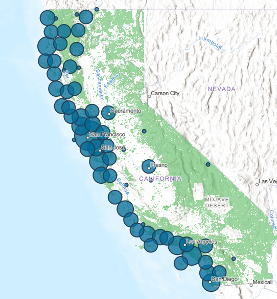
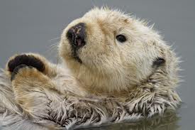
- Sea Otter Recovery Grants RFP Now Open!The California State Coastal Conservancy announces the availability of grants to public agencies, tribes and nonprofit organizations for projects that facilitate the recovery of the southern sea otter along California’s coasts. The California Sea Otter Fund is one of the state’s tax check-off funds that allows taxpayers to voluntarily contribute to the recovery of California’s […] (Read more on Sea Otter Recovery...)
- Coastal Conservancy Public Meeting in Oakland – April 18Meeting Notice Douglas Bosco (Public Member), Chair Marce Gutiérrez-Graudiņš (Public Member), Vice Chair Joy Sterling (Public Member) Jeremiah Hallisey (Public Member) Wade Crowfoot, Secretary for Natural Resources; Bryan Cash and Jenn Eckerle (Designated) Caryl Hart, Coastal Commission Chair; Madeline Cavalieri (Designated) Joe Stephenshaw, Director, Department of Finance; Michele Perrault (Designated) Senate Representatives Benjamin Allen (District […] (Read more on Coastal Conservancy Public...)

 Help Save Sea Otters at Tax Time

