California Coastal Trail
![]()
California boasts one of the most diverse and spectacular coastlines in the world. Visitors and residents alike are drawn to its sandy beaches, tide pools, dramatic coastal cliffs, densely forested coastal mountains, and large bays. The variety and breath-taking beauty of its coast are a critical component of California’s economy and quality of life for its citizens.
To make the coast more accessible, encourage non-motorized transportation, and foster appreciation and stewardship of the scenic and natural resources of the coast, the California Coastal Trail (CCT) is being developed to create a continuous, interconnected public trail system spanning over a 1,230 miles from Oregon to Mexico.
The CCT is an integrated network of trails that, when completed, will provide a multi modal opportunity to walk and bike the length of California’s 1,230-mile-long coast. The CCT was designated California’s Millennium Legacy Trail in 1999 by Governor Davis. In conjunction with that action, the White House Millennium Trail Council encouraged federal agencies to assist in developing the system including making lands available for completion of the CCT.
Subsequently, through Assembly Concurrent Resolution (2001-2002), the State Legislature declared the CCT to be an official state trail and found that completion of the CCT is an integral part of the State’s responsibility to provide public coastal access for all in perpetuity. Recognizing public access to and along the coast of California to be protected under Article X of the California Constitution and the California Coastal Act, the Legislature urged the Coastal Conservancy and Coastal Commission to work collaboratively to complete the trail. Not long after, the California Legislature directed the Conservancy prepare a status report on the trail that was completed in 2004 and titled, “Completing the California Coastal Trail.” In 2007, the Legislature expanded the responsibility for completion of the CCT by adding both Caltrans and California State Parks to the on-going work being done by the Conservancy. Most recently, in 2021, the Conservancy and Coastal Commission, in collaboration with Caltrans and California State Parks, jointly published the definitive California Coastal Trail map, which depicts existing segments of CCT.
The Coastal Trail will enable Californians to enjoy our coastal treasures and will attract visitors from around the world.
Today, roughly 70% of the CCT is complete, and the Coastal Conservancy has been tasked by the legislature to help complete it. The Conservancy pursues this mandate in part by awarding grants to public agencies and nonprofit organizations to acquire land rights, and to develop, operate, or manage lands for public access to and along the coast. The Conservancy also works with other state agencies including the Coastal Commission and State Parks to coordinate development of the CCT.
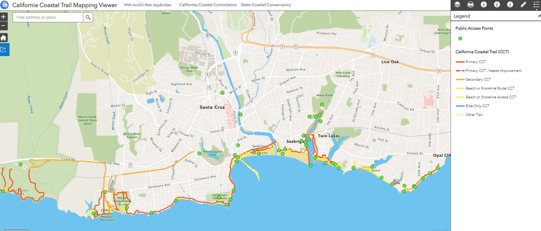
Map of the CCT
An interactive map of the California Coastal Trail can be found here.
Coastal Trail Videos
KCET has been airing a series of short films of stories along the California Coastal Trail. View them all on the KCET website
A Wheelchair Riders Guide to the California Coast
California’s spectacular coast offers many outdoor adventures for wheelchair riders, parents pushing strollers, and others who need accessibility features such as a wide, fairly level and firm path of travel. This guide can help you choose the destinations that suit your needs from among the coast’s many wheelchair-accessible parks, trails, beaches, viewpoints, and other sites of interest. A full guide can be found here: Wheeling Cal’s Coast